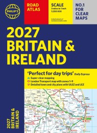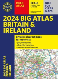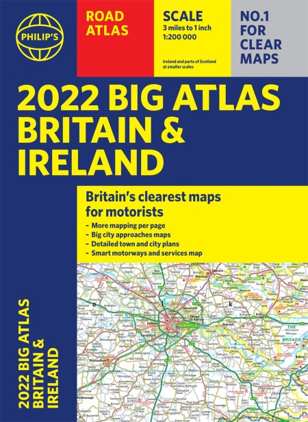
2022 Philip’s Big Road Atlas Britain and Ireland
PHILIP’S – THE FASTEST GROWING BRAND OF UK ROAD ATLASES
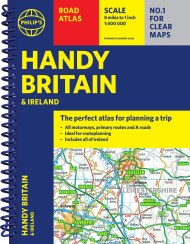
No. 1 in the UK for clear maps
‘Good balance between detail and clarity with excellent town maps’ What Car?
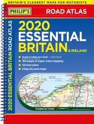
Main scale of maps: 3 miles to 1 inch = 1:200,000
Practical ‘more to view per page’ A3 format
Smart motorways and electric cars explained
Great for planning and driving long journeys or short hops
Philip’s: Britain’s clearest maps for motorists
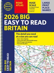
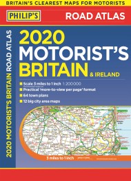
Completely updated and revised for 2022 with information on Smart Motorways and electric cars
– 96 pages of fully updated road maps
– Plan your route in advance – 6-page route-planning section
– 64 fully indexed town and city plans
– 16 pages of city approach maps with named arterial roads
– 2-page road map of Ireland
– Map of scenic Britain and a map highlighting railways, airports and ferry ports
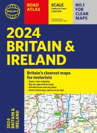
Philip’s 2022 Big Road Atlas Britain and Ireland contains 96 pages of road maps covering Britain at 3 miles to 1 inch (Scottish Highlands and Western Isles at 4 miles to 1 inch, Orkney and Shetland at 5.25 miles to 1 inch). The maps clearly mark service areas, roundabouts and multi-level junctions for easy navigation, and in rural areas distinguish between roads over and under 4 metres wide – a boon for drivers of wide vehicles.
The atlas also includes a 2-page road map of Ireland, route-planning maps, a distance table, 12 large-scale city approach maps with named arterial roads, and 64 extra-detailed and fully indexed town and city plans.
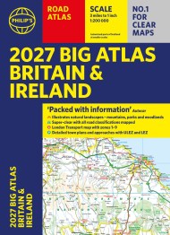
No. 1 in the UK for clear maps
‘Good balance between detail and clarity with excellent town maps’ What Car?
Main scale of maps: 3 miles to 1 inch = 1:200,000
Practical ‘more to view per page’ A3 format
Smart motorways and electric cars explained
Great for planning and driving long journeys or short hops
Philip’s: Britain’s clearest maps for motorists
Completely updated and revised for 2022 with information on Smart Motorways and electric cars
– 96 pages of fully updated road maps
– Plan your route in advance – 6-page route-planning section
– 64 fully indexed town and city plans
– 16 pages of city approach maps with named arterial roads
– 2-page road map of Ireland
– Map of scenic Britain and a map highlighting railways, airports and ferry ports
Philip’s 2022 Big Road Atlas Britain and Ireland contains 96 pages of road maps covering Britain at 3 miles to 1 inch (Scottish Highlands and Western Isles at 4 miles to 1 inch, Orkney and Shetland at 5.25 miles to 1 inch). The maps clearly mark service areas, roundabouts and multi-level junctions for easy navigation, and in rural areas distinguish between roads over and under 4 metres wide – a boon for drivers of wide vehicles.
The atlas also includes a 2-page road map of Ireland, route-planning maps, a distance table, 12 large-scale city approach maps with named arterial roads, and 64 extra-detailed and fully indexed town and city plans.