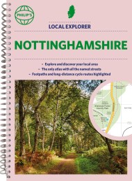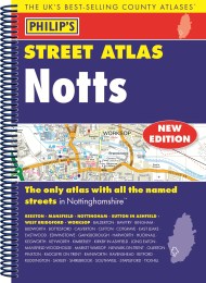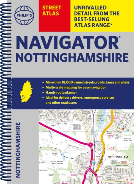
The only county Street Atlas with all the named streets of Nottinghamshire and perfect back-up for emergency services, delivery drivers, visitors and locals.
With more than 18,000 named streets, roads, lanes and alleys, this is the essential map book for residents and visitors – especially if you’re in a hurry
Includes all the streets in BEESTON, MANSFIELD, NOTTINGHAM, SUTTON IN ASHFIELD, WEST BRIDGFORD, WORKSOP, Balderton, Bawtry, Bingham, Blidworth, Bottesford, Calverton, Clifton, Cotgrave, East Leake, Eastwood, Edwinstowe, Gainsborough, Harworth, Hucknall, Kegworth, Keyworth, Kimberley, Kirkby in Ashfield, Long Eaton, Mansfield Woodhouse, Market Warsop, Newark-on-Trent, Ollerton, Pinxton, Radcliffe on Trent, Rainworth, Ravenshead, Retford, Ruddington, Saxilby, Shirebrook, Southwell, Stapleford, Tickwell.
– New completely revised edition in practical spiral-bound format
– Street maps show car parks, schools, hospitals and many other places of interest, including off the beaten track
– 4-page practical route-planning section showing all A and B roads
– Super-clear mapping
– Easy-to-use index
– Scales: 1¾ inches to 1 mile (1:36,000) and 3½ inches to 1 mile (1:18,000). Major towns: 7 inches to 1 mile (1:9,000).
Other information on the maps includes postcode boundaries, car parks, railway and bus stations, post offices, schools, colleges, hospitals, police and fire stations, places of worship, leisure centres, footpaths and bridleways, camping and caravan sites, golf courses, and many other places of interest.