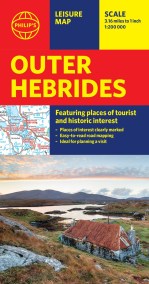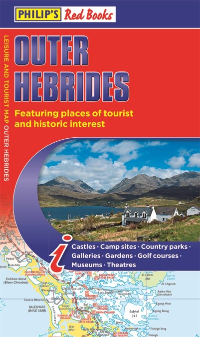
Philip’s Outer Hebrides: Leisure and Tourist Map 2020
The new edition of this leisure and tourist map of the Outer Hebrides gives detailed coverage of the area’s road network at a scale of 3.16 miles to 1 inch.
This information-packed Philip’s leisure map of the Outer Hebrides (or Western Isles) gives clear and detailed coverage of the archipelago’s road networks at a scale of 3.16 miles to 1 inch. From the bustle of Stornoway to the flora and fauna of the remotest spots, this is the only companion you will need.
The easy-to-use map shows all the major places of tourist and historic interest, including ancient sites, beaches, castles, camping sites, country parks, distilleries, galleries, gardens, golf courses, museums, nature trails and walks, standing stones, sports and entertainment venues. Whether bracing sea walks, learning Scottish Gaelic or savouring distilleries is your plan, a handy index makes them all easy to find and enjoy.
In a convenient folded format, this single-sided sheet map is ideally suited for both leisure and business use, whether by locals or visitors.